Start and End Points:
Alozaina: Beginning of the Camino Alto de Guaro, next to the Cemetery, at C/Camino del Mercado
Alozaina: Beginning of Camino de Coín, end of C/Coín - Fuente Grande.
Notable ecosystems and landscapes:
Farmlands. Olive groves.
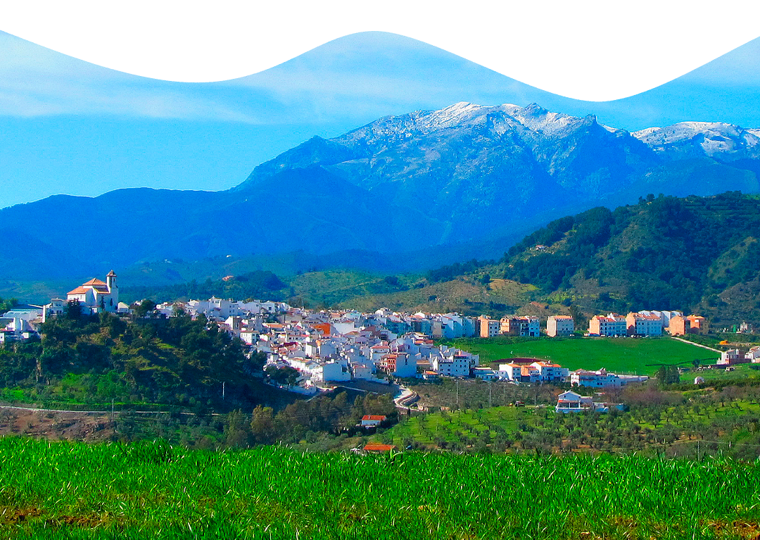
This route allows us to appreciate the southern area of the municipality of Alozaina, see the peculiarities of its hilly terrain and get closer to its main crop, the olive groves, where its famous table olives and its great oil are born.
Half of this route coincides with the first three kilometers of the Alozaina-Guaro route.
We leave from the surroundings of the Alozaina cemetery along the Alto de Guaro road, along a continuous descent, which is very comfortable as it is on paved terrain.
We pass the Portugalete road, from where we can also reach the lower part of the municipality. Next we pass the crossroads where the Camino de los Valles and the Ardite road meet to reach Puerto del Viento with a slight climb.
After crowning the pass and descending for about 750 meters, we leave the paved road in a detour to the left to take the Bajo de Guaro road that, in continuous descent, reaches what is known as Arroyo de María Sandía and the Dehesa road (which circulates parallel to it), but we continue along the Bajo de Guaro, from where a slight climb begins again.
Once we reach the junction with the old Coín road, also paved, and leaving on the right side the Camino de la Jara and the Camino de Bellido, all embedded in the olive grove of the Sierra de las Nieves, there is only one kilometer left until we reach to Alozaina.