Avec this itinéraire, who take the ancient route between Alozaina and Guaro, our traversons all the bassin moyen d'un fleuve méditerranéen typique: le Río Grande.
From zones of different cultures, from fruit trees pluviaux tels que les oliviers et les amandiers, des cultures céréalières et des cultures irriguées sur les rives du fleuve, nous permettent de profiter et d'apprécier les différentes agricoles utilisations.
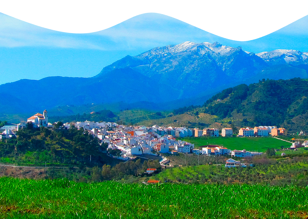
The parks begin at the edge of the Alozaina cimetière, where we start on the Camino Alto de Guaro. The first trunk is three comfortable, the ancient route is asphalted and in three good condition, and it dominates the slope, which is interrupted by a more courteous mountain raid on the Puerto del Viento.
Un peu plus loin, et toujours entre les oliviers, nous entrons dans la zone d'Ardite, juste là où le goudron se termina et où la route devient de la terre. Un peu plus loin, we arrive at the Triguero-Ardite carrefour, our next prenons is the branch that we are at the bottom of the Rio Grande valley, in a descending raide and exciting.
After crossing the pont on the Rio Grande, our paths on the A-366, on our gauche tours (in the direction of Coín) and on parcourons around 500 meters just after our traversions on the pont on the Arroyo Santo, just After that, on the road, you will find the Camino de Alozaina, pour vers Guaro.
This mountain is a veritable défi for the good amateurs of VTT, car il faut ajouter à la pente existing, plus 250 mètres in seulement 2 kilomètres, l'état du terrain, un chemin de terre avec quelques pierres meubles, ce qui oblige à Donner la bonne cadence à chaque coup de pedale si l'on ne veut pas avoir à poser le pied à terre pendant cette partie.
The ascension culminates in the Ermita de la Cruz del Puerto, on our way to a light descent just in the sports zone of El Puerto, below the meters of the main center of Guaro.