Natural Routes to enjoy in Alozaina

Jorox Valley and El Charco de La Caldera Route

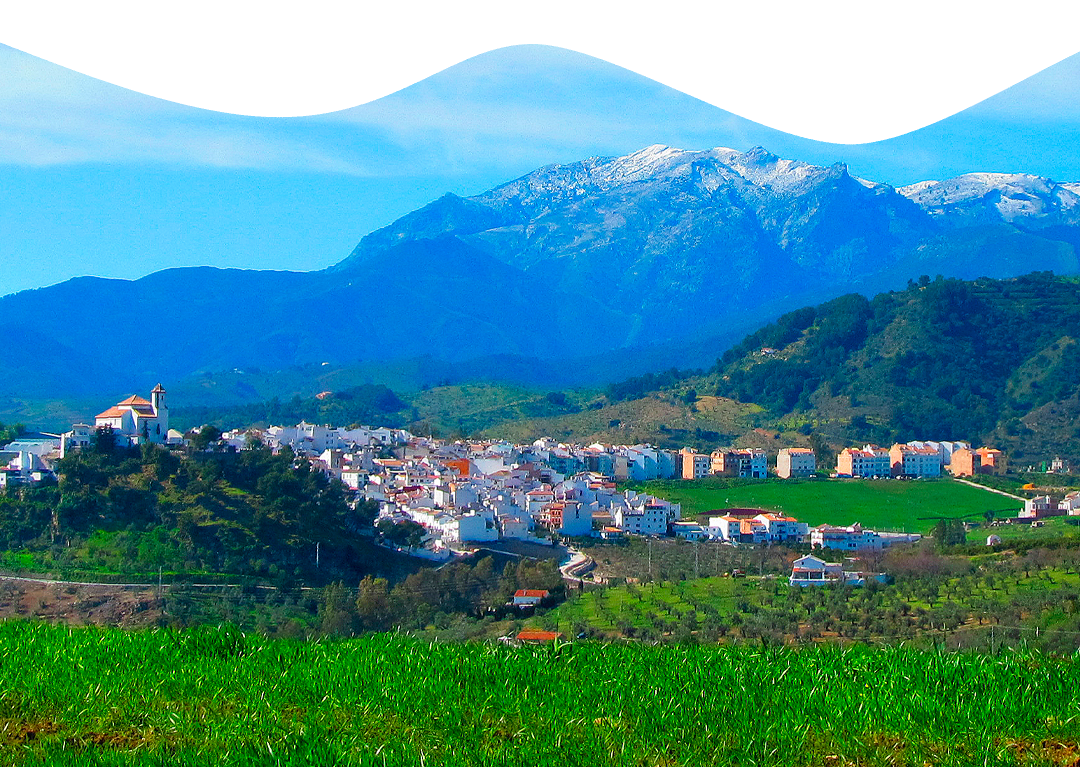
ANDIt is a unique viewpoint with excellent views of the entire Jorox valley. Right between the municipalities of Alozaina and Yunquera. This valley located around the Jorox river, on the border between the Sierra de las Nieves and the Guadalhorce region, is one of the natural enclaves with the most landscape variety in the entire area. And, furthermore, it has been populated since the Paleolithic, as evidenced by countless archaeological finds in the caves that surround the valley.

Near the valley and Next to the Hermitage of the Holy Christ of the True Cross There is also the path of The puddle, which is close to the hermitage and is actually before when you access Jorox from the Alozaina-Yunquera road, about 100 meters to the left.

There a striking natural waterfall about 22 meters high rises among the undergrowth, as well as a beautiful pool where the crystal-clear water of the mountain rests.


Watch a preview

We show you the best of the route

Trail Route PR-A 272 Alozaina-Siete Fuente


The route begins on the A-366 highway, next to the urban center of Alozaina. The beginning of it runs in a continuous climb, along a path that gives access to the area of the municipal water tanks, to then continue to the so-called Llano de Zaralejo. From there, the itinerary always runs along an old path, which for a short distance is cut by the Sierra Prieta track. From this lane, and always uphill, there are


Alozaina – Guaro (Bicycle)

  • Total length: 9.5 km
  • National Topographic Map of Spain 1:25,000. Leaves. 1051-4, 1052-3 and 1066-1
  • Estimated Time: 2 hours Observations:
  • Difficulty: Medium-High Stage in which most of the route runs next to private farms, it being very important to respect the property.
  • Elevation: 255 meters
  • Upper elevation: 402 meters above sea level.
  • Lower level: 147 meters above sea level.
  • Notable ecosystems and landscapes: Río Grande Valley. Riverside vegetation. Olive groves. Orchards. Almond trees.
  • Start and End Points:
  • Alozaina: Beginning of the Camino Alto de Guaro, next to the Cemetery on Calle Camino del Mercado
  • Guaro: Roundabout at the main entrance to the urban area of Guaro, on highway A – 7100

Alozaina – Alozaina (Bicycle)

  • Total length: 6 km
  • Estimated time: 45 minutes 
  • Observations:
  • Difficulty: Low Stage in which most of the route runs next to private farms, it being very important to respect the property.
  • Elevation: 152 meters
  • Upper elevation: 402 meters above sea level.
  • Lower level: 250 meters above sea level.

Start and End Points:

Alozaina: Beginning of the Camino Alto de Guaro, next to the Cemetery, at C/Camino del Mercado

Alozaina: Beginning of Camino de Coín, end of C/Coín – Fuente Grande.

Notable ecosystems and landscapes:

Farmlands. Olive groves.

PR-A 273 Fuente Techa-Sierra Prieta Trail Route

  • Type: Short route
  • Length: 5 kilometers
  • Elevation: 685 meters
  • Lower altitude: 840 meters above sea level Upper altitude: 1,525 meters above sea level.
  • Route: Linear and circular.
  • Estimated time: 3.5 hours (one way)
  • Type of terrain: Mountainous
  • Difficulty: high

Route between Olivares

  • Circular Route
  • Duration: approximately 60 minutes
  • Difficulty: Low
  • The 50% of its route passes through the urban area and the remaining 50% through the countryside.
  • Recommended throughout the year
  • Wear appropriate footwear
  • It can be done by bicycle, taking into account some slopes on the streets through which the walk takes place.